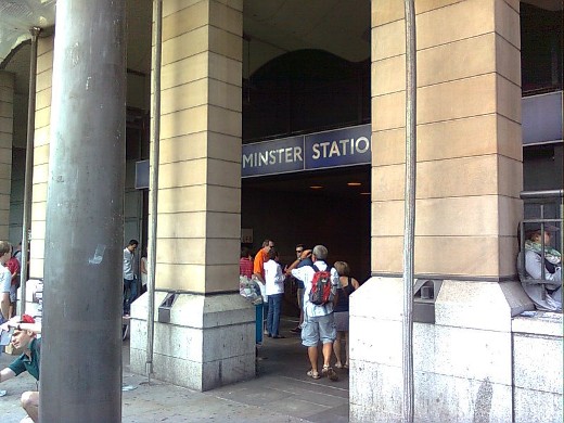
Upminster station, the eastern terminus of the District line and the easternmost station on the underground network. The station is owned by Network Rail with services run by c2c and Greater Anglia Railways.
|
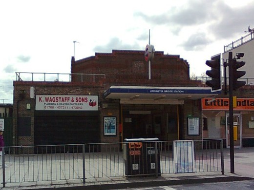
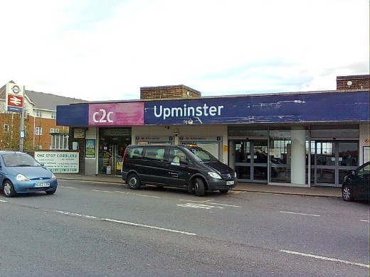
Upminster Bridge station was opened in 1934 by the London Midland & Scottish Railway. It has an octagonal booking hall which rises above the entrance facade and has LMSR inscribed on a plaque on the front.
|
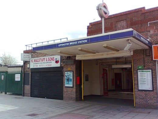
In keeping with the 1930s style of the interior, a 1935 K6 telephone box can be seen in this picture standing just inside the entrance.
|
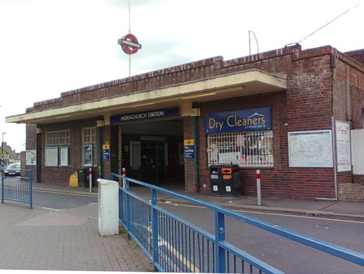
Hornchurch station.
|
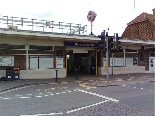
Elm Park station.
|
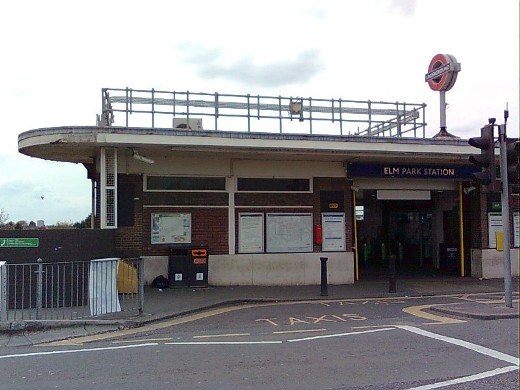
Another view of Elm Park station showing the rounded end to the building.
|
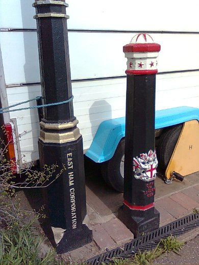
The walk to the next station took a two and half mile detour around green land to the south of the line. Along the busy main road, the A1112, stands these two oddities. To the right is a City of London bollard dated 1992, and on the left an old lamp post marked East Ham Corporation. No lamp present, just the freshly painted post.
|
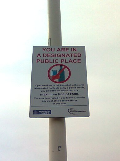
Further along the same road beside a large block of flats, this sign tells us in a round about way that this is an alcohol restricted area. No sign to show where the zone ends, just a planning permission application attached to a lamp post outlining plans to flatten the block!
|
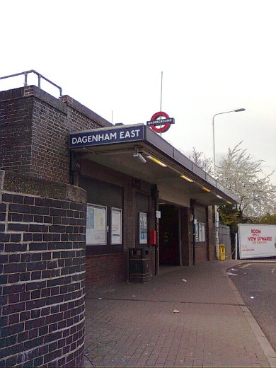
Dagenham East station, refurbished in 2006.
|
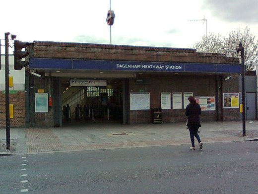
Dagenham Heathway station, called simply Heathway when it opened in 1932 and changed to its present name in 1949.
|
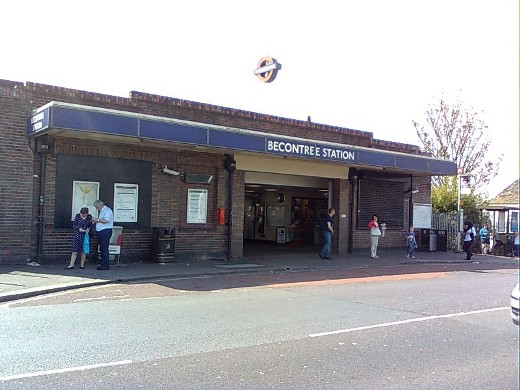
Becontree station was opened as Gale Street Halt by the London, Midland and Scottish Railway in 1926. It was rebuilt and renamed in 1932. The LMSR service was withdrawn in 1962 and leaves two of the four platforms disused.
|
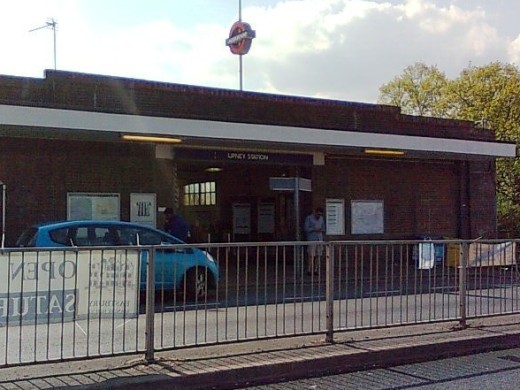
Upney station.
|
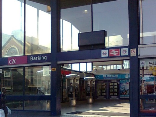
Barking station entrance is inside the shopping centre.
|
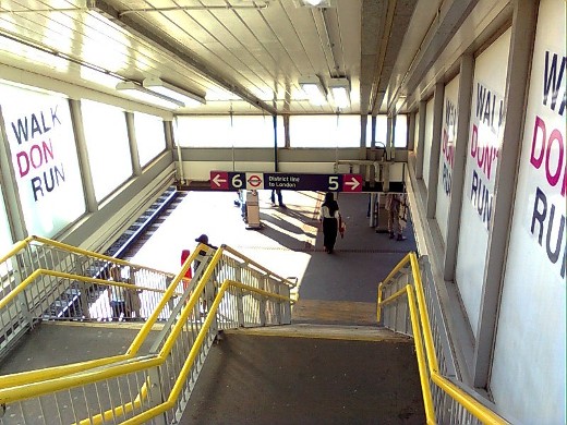
On the way to the platform with plenty of warnings not to run!
|
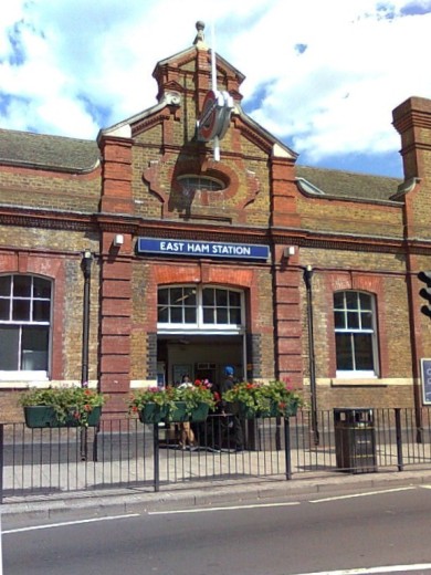
East Ham station, opened by the London, Tilbury and Southend Railway in 1858 with District line services starting in 1902.
|
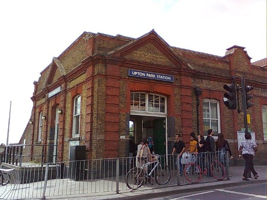
Upton Park station opened in 1877, the station building demolished and rebuilt in 1903 when more tracks were added. The station name has also been immortalised by the London saying "she's Upton Park, two stops short of Barking".
|
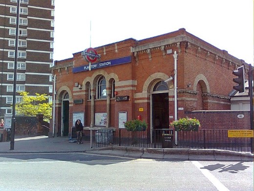
Plaistow station, similar in style to the previous two on the line.
|
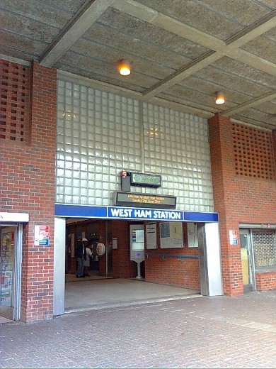
A modern West Ham station is served by the Hammersmith & City, Jubilee and District lines along with the Docklands Light Railway and National Rail. It has eight platforms, the northern upper pair, platforms 1 and 2 are used by the District and Hammersmith & City lines.
|
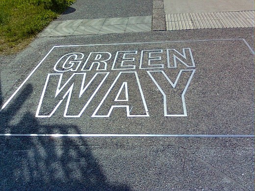
The walk to the next station takes us along a wide pathway called Greenway which is constructed on the embankment containing the Northern Outfall Sewer.
|
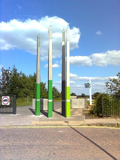
An interesting sculptural work stands at the entrance to the walkway.
|
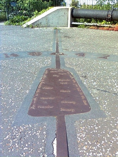
Further along Greenway an analemmatic sundial set in the path needs a person to act as the gnomon. The meridian line is also marked. The months of the year are marked on the metal plate in the centre.
|
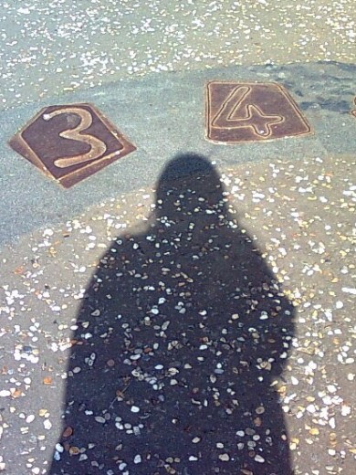
The writing round the edge reads "You wake in the morning the day has begun. Stand now this month with your back to the sun." So I did, and standing on 'June', my shadow pointed to 3.45 GMT which was correct.
|
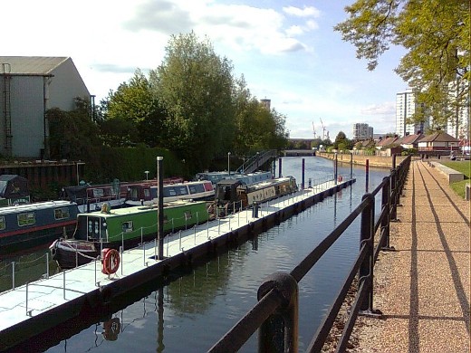
Leaving the Greenway the walk takes us along Three Mills Wall River.
|
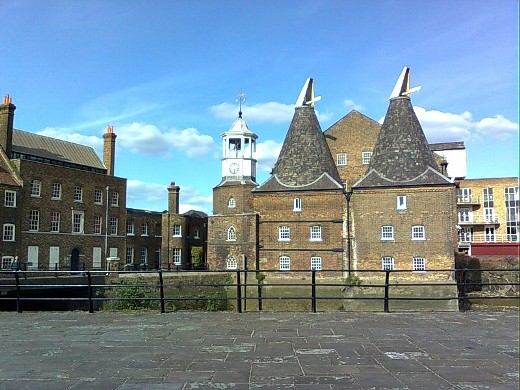
The picture shows the Clock Mill on the right and the House Mill to the left.
|
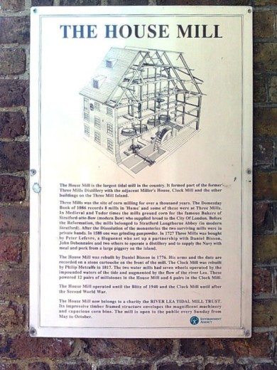
A brief history of the mill is pinned to the wall.
|
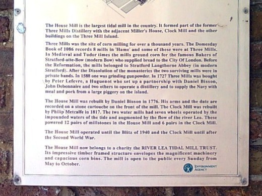
The beginning reads "The House Mill is the largest tidal mill in the country. It formed part of the former Three Mills Distillery with the adjacent Miller's House, Clock Mill and the other buildings on the Three Mill Island."
|
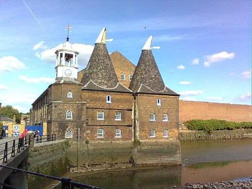
The Clock Mill stands on the banks of the tidal river.
|
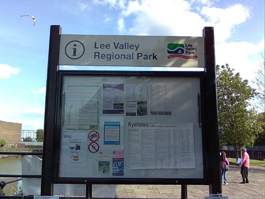
The Lee Valley Regional Park Authority has reclaimed and developed the strip of land here between the River Lee or Lea and the Channelsea River making a lovely area of countryside for Londoners to enjoy.
|
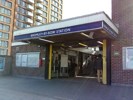
Bromley-by-Bow originally called Bromley and renamed in 1967. In the television programme Eastenders, this is the station replaced on the map by Walford East.
|
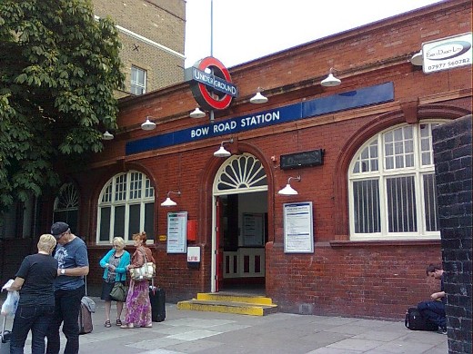
Bow Road station, a Grade II listed building. Just beyond this station the line goes underground, down the steepest tunnel approach on the Tube network.
|
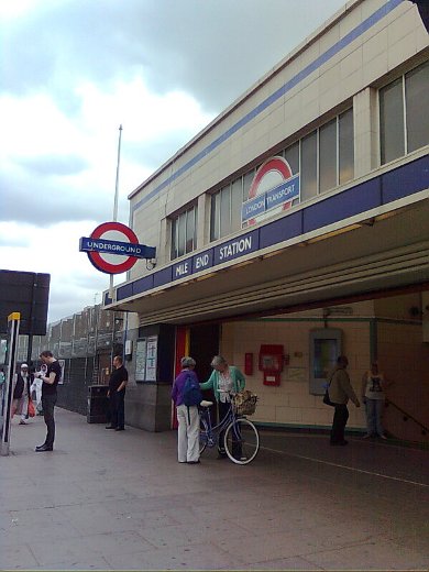
Mile End station, the first on the line with platforms below ground and the only subterranean station on the network with cross platform interchange between subsurface and deep level Tube lines. In this case the subsurface lines are the District and the Hammersmith & City lines, and the deep line is the Central line.
|
Just beyond the station a pedestrian walkway full of greenery runs across the road. It is part of Mile End Park which can be accessed by nearby steps. The linear park was opened in 1999 and covers 90 acres.
|
The park itself is a wonderful, peaceful oasis away from traffic noise in a busy part of London.
|
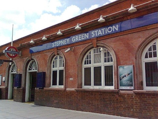
Stepney Green station, a subsurface station opened in 1902.
|
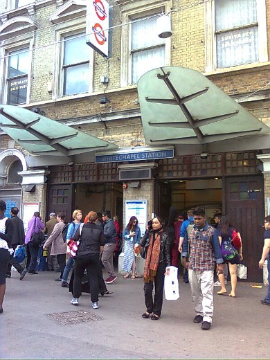
Whitechapel station with the odd arrangement whereby the Underground line platforms are sited at surface level, albeit in a cutting, with platforms for the Overground trains below.
|
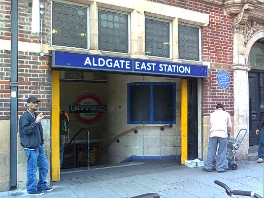
The original Aldgate East station opened in 1884. It was sited some 500 feet to the west of the current station. In 1935 work started to enlarge the triangular junction at Aldgate to allow for a more gentle curve to the Hammersmith & City line from Liverpool Street to Aldgate East. The new station opened in 1938. When Aldgate East station was resited, the previous station, St Mary's, was closed. No obvious evidence of the station remains overground.
A 1930s style roundel can be seen on the back wall inside the entrance. A blue plaque on the next building tells us that the poet and painter, Isaac Rosenberg (1890 - 1918), lived nearby and studied here.
|
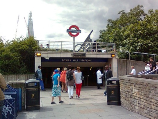
Tower Hill station opened in 1967, built on the site of the former Tower of London station which was only open for two years before it closed in 1884.
|
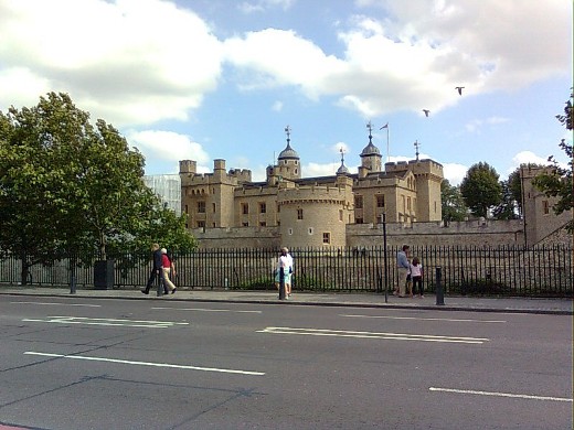
Across the road from the station stands the Tower of London.
|
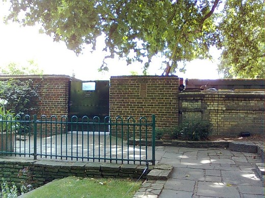
West of the station two archways that were originally the entrance to Mark Lane station which was opened in 1884 and renamed Tower Hill in 1946. The archway on the right is used as the entrance to a subway under the road.
|
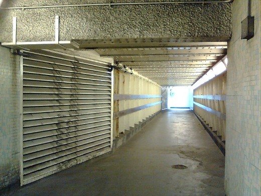
Inside the subway the grilles on the left cover the doorway leading down to the old platform. The sound of passing trains is extremely loud.
|
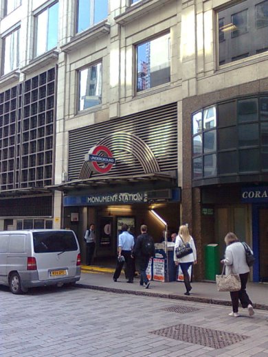
Monument station was opened in 1884 as Eastcheap and the name changed to Monument just a month later. The station has been interlinked under ground with Bank station since 1993.
|
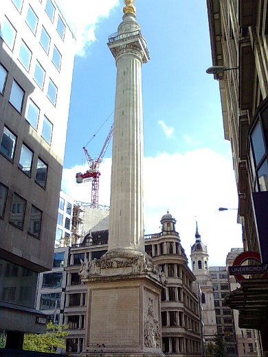
The Monument to the Great Fire of London of 1666 from which the nearby station takes its name. The Monument is 202 feet tall and stands 202 feet from the site where the fire started. It comprises a fluted column of Portland stone topped with a gilded urn of fire. A winding staircase of 311 steps goes up to a baclony near the top. Sadly more people have died jumping off the monument than died in the fire it commemorates.
|
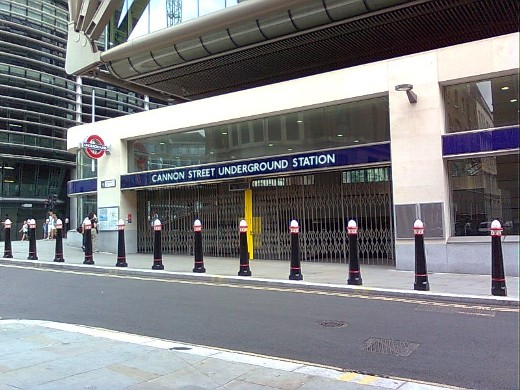
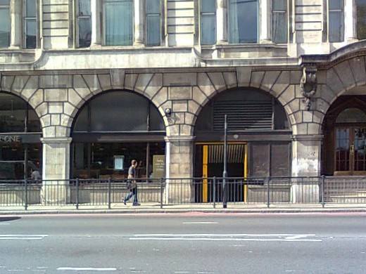
Cannon Street station is situated below the mainline station of the same name. It is open for limited hours only.
|
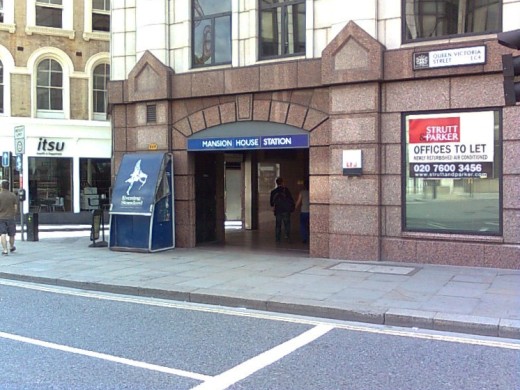
Mansion House station opened in 1871. The station entrance has been rebuilt several times.
|
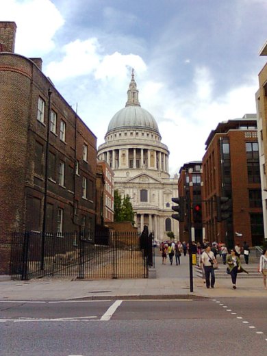
On the way to the next station past St Paul's Cathedral.
|
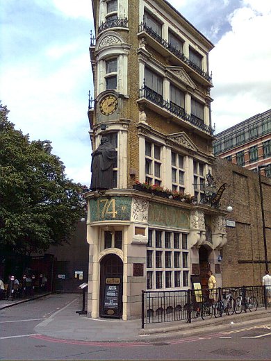
On the corner just before Blackfriars station, the Black Friar himself sits looking down. The building is Grade II* listed.
|
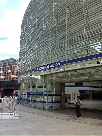
Blackfriars station, with a newly built front and ticket office, was originally opened in 1870, 16 years before the mainline station.
|
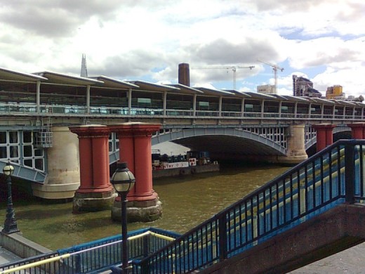
Standing on Blackfriars Bridge looking at the railway bridge with the mainline station platforms spanning the Thames, with piers from the original railway bridge still standing in front. There are station entrances on both the north and south banks.
|
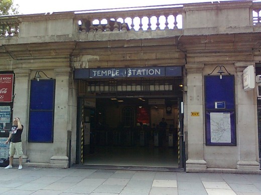
An old style sign on the corner of Temple station building shows the way to the station entrance which is along the side of the building.
|
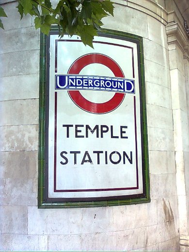
Temple station was originally called The Temple with the definite article soon being dropped.
|
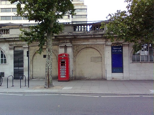
The front of the building shows evidence of the original station entrance.
|
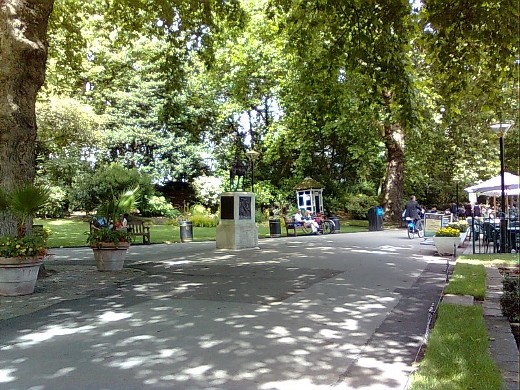
The walk takes us through the beautiful Victoria Embankment Gardens.
|
In the gardens, stands a ventilation shaft with the tube trains clearly heard rumbling below.
|
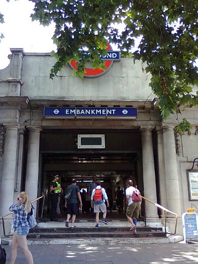
On past Waterloo Bridge to Embankment station which was once called Charing Cross. It is in two parts with deep platforms for the Bakerloo and Northern lines and subsurface platforms serving the Circle and District lines.
|
Westminster station is also in two parts with subsurface platforms opened in 1868 for the Circle and District lines, and deep level platforms opened in 1999 as part of the Jubilee line extension from Green Park to Stratford.
|
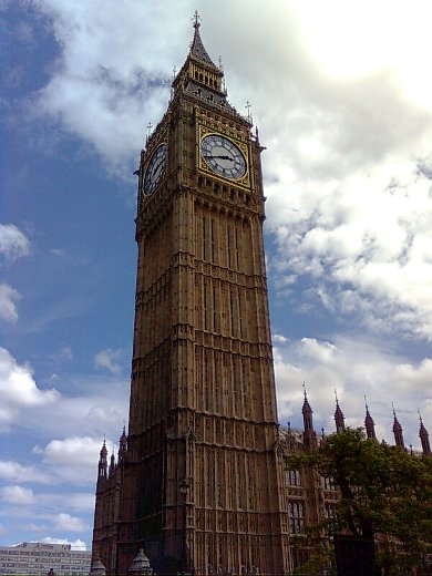
Over the road from the station stands Big Ben.
|
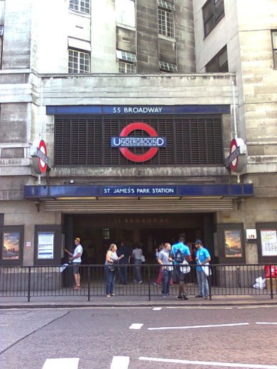
St James's Park station above which are the London Underground company offices. The name of the station has changed slightly over the years. In early maps it is written St James' Park while in maps from the 1930s it is St James Park, and in the 1950s the apostrophe was brought back and another 's' added giving the name we know today.
|
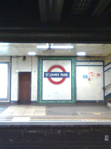
One roundel on the eastbound platform still reads St James' Park using the old spelling.
|
|
District Line continued
|